The MGA With An Attitude
MGA Guru Is GOING MOBILE
Mount Hood Access Runs, north and south slopes - (July 15, 2026)
Wednesday, July 15, 2026:
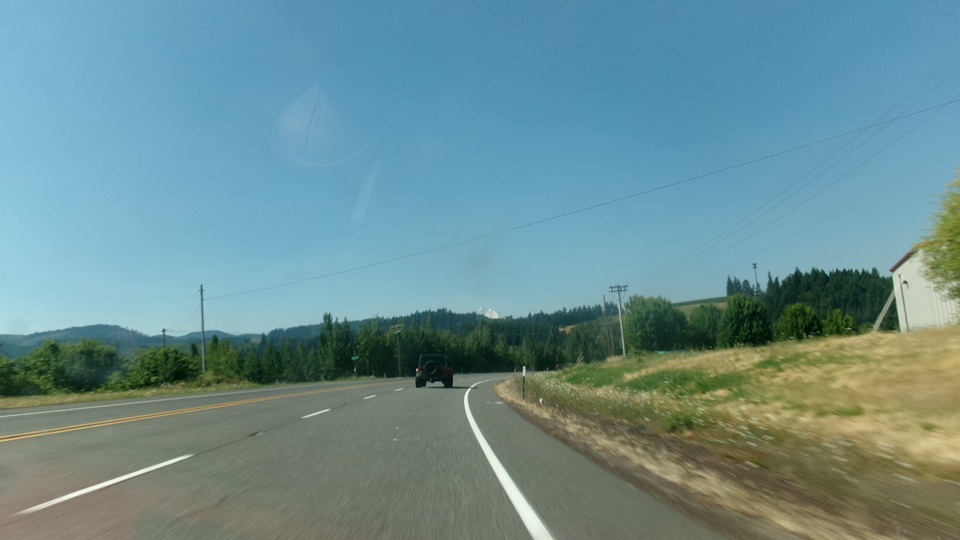
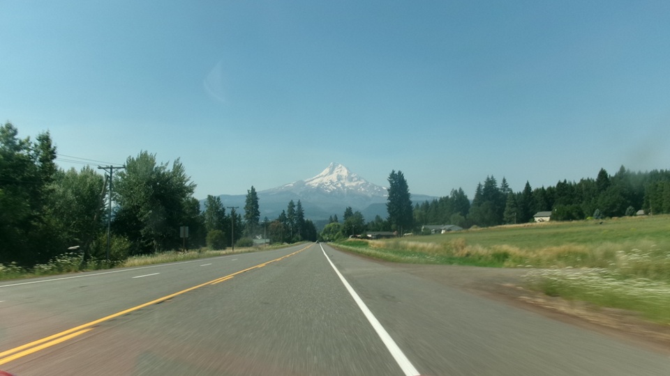
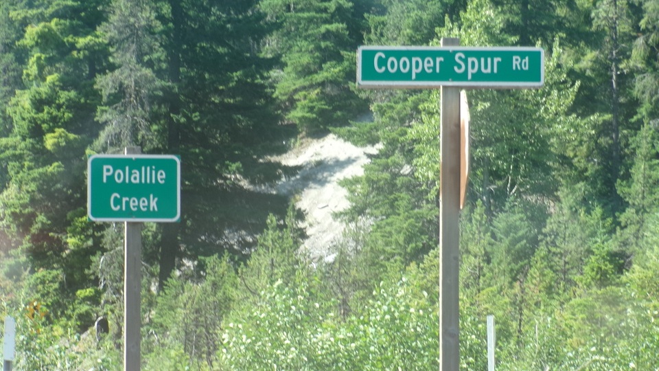
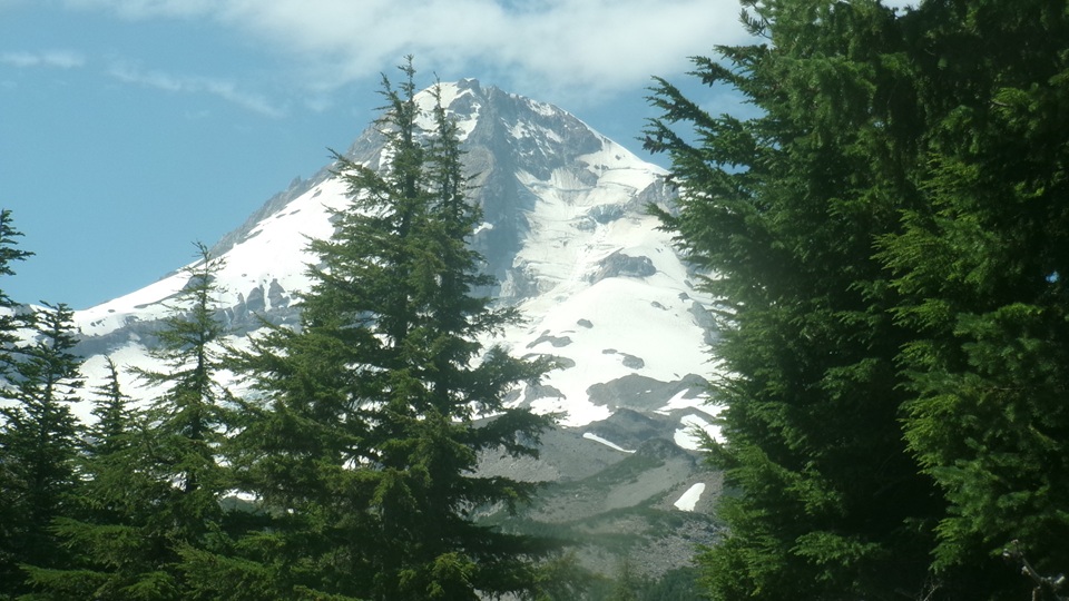
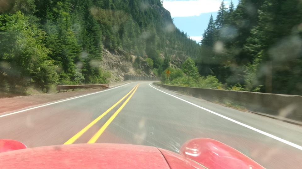
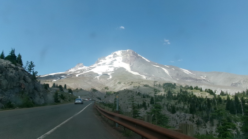
Up early for breakfast, get the BBS and email out of the way, full tank of fuel, top up coolant, poke around everything under the bonnet, kick the tires and check tire pressure, be sure the trailer hitch and safety chains are secure, and head out from Hood River, Oregon going south this time. We were following Mount Hood Highway, OR-35, heading for Cooper Spur Road near Polallie Trail Head, 24 miles on, as we were sneaking up on the north side of Mount Hood.
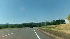
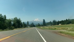
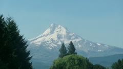
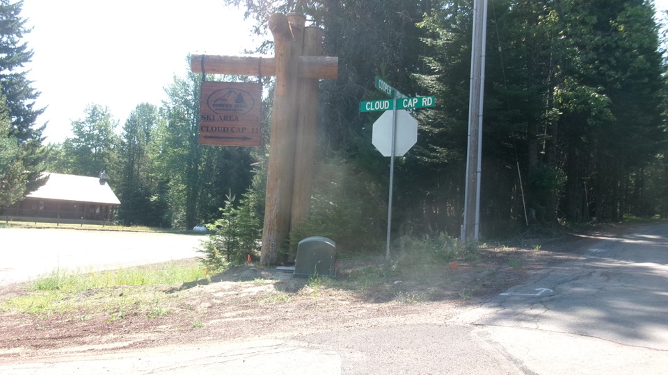
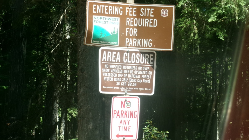
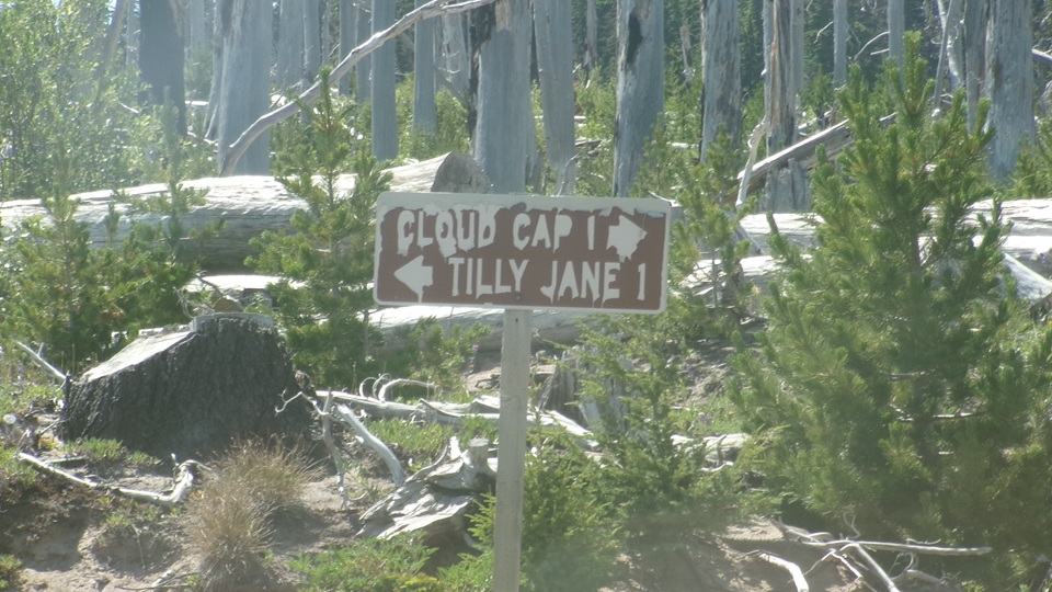
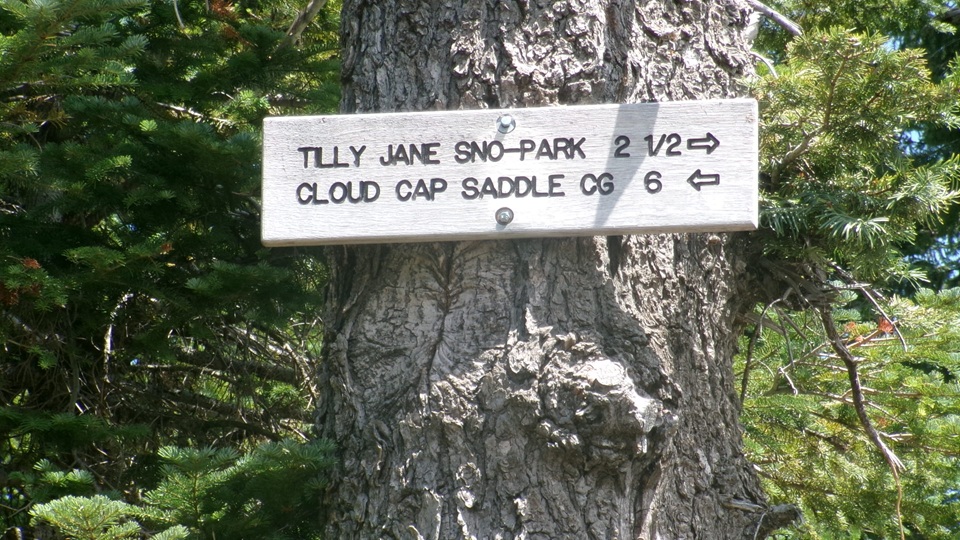
Turning into Cooper Spur Road, the sign optimistically says, "Cooper Spur Ski Area 4, Cloud Cap, 14".
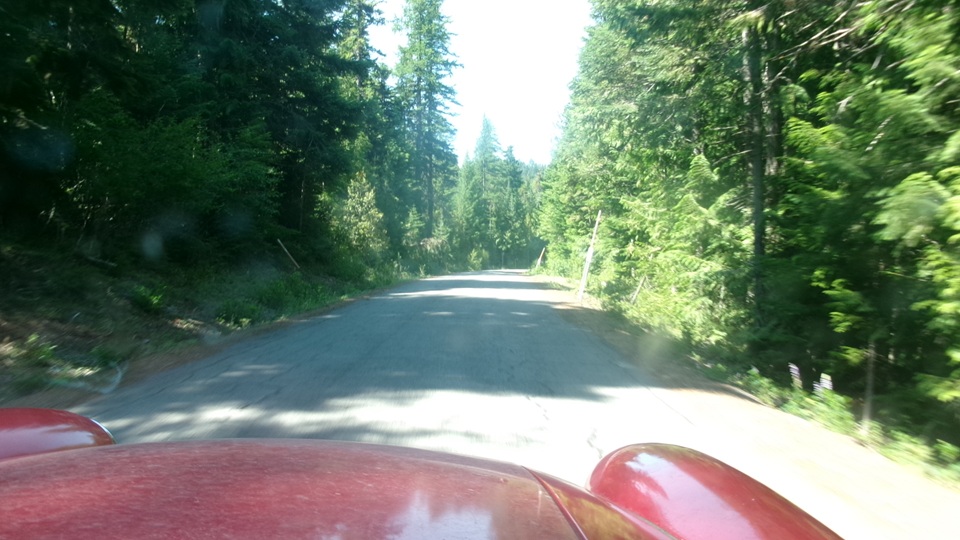
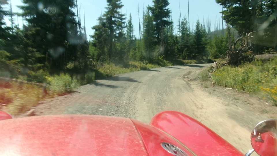
one mile of reasonable gravel road, where we soon encountered our first serious pot hole. Now second gear just off idle, about 10-mph to tolerate the rough gravel road, wondering if we should really be here.
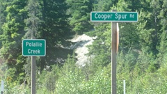
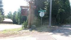
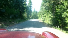
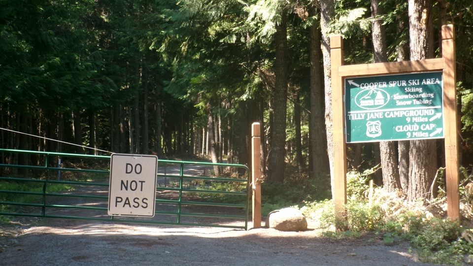
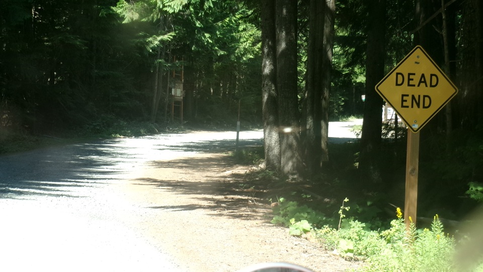
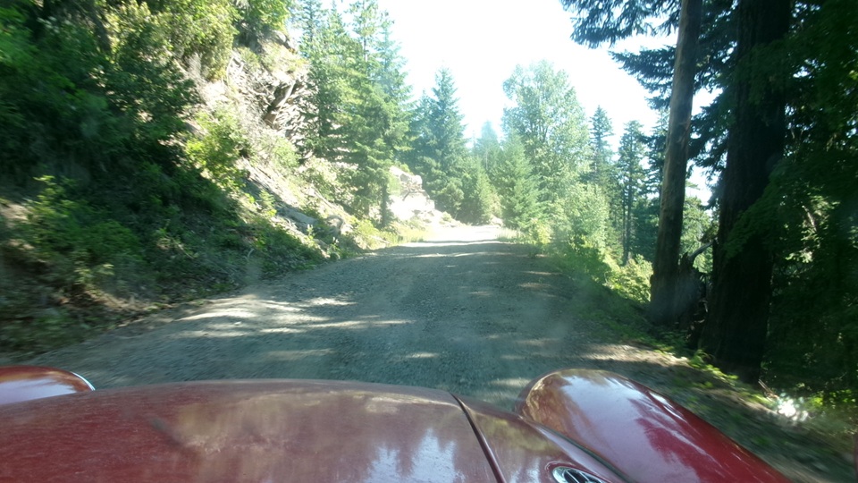
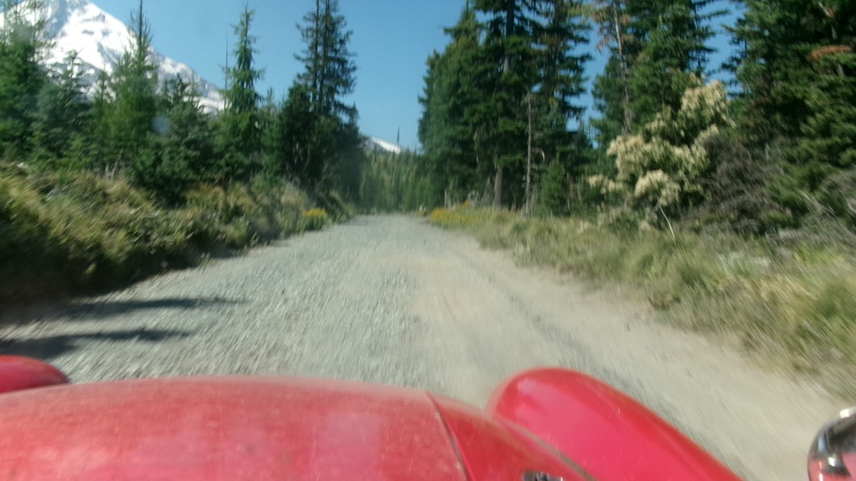
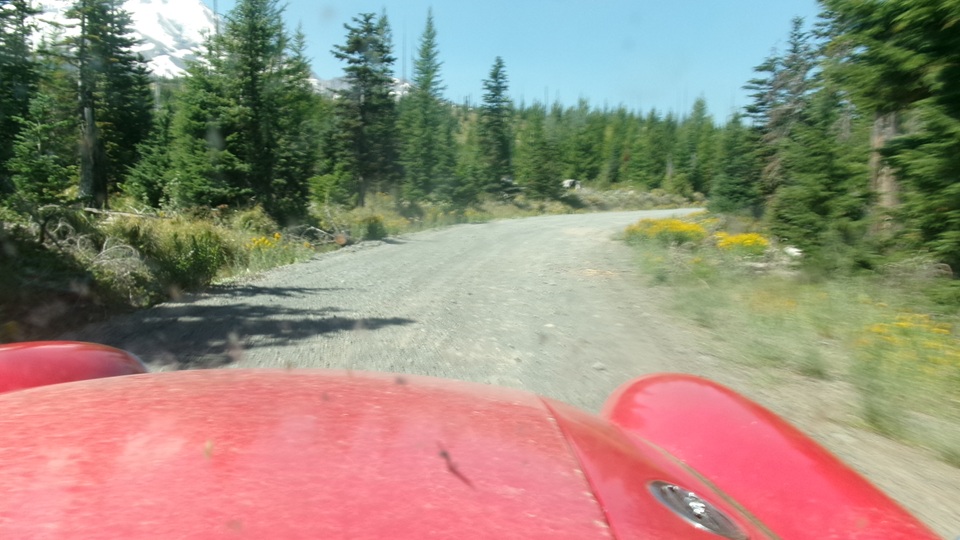
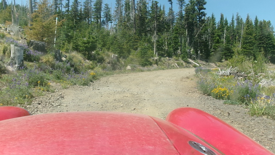
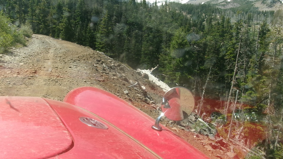
A few miles farther, the fork left to the ski area and resort was gate closed, no access, so bear right onto Cloud Cap Road, "Forest Road 3512", toward Tillie Jane Campground and Cloud Cap, just 5 miles in, another 9 miles to go on a dead end road. This is a much worse gravel forestry road, definitely limited to second gear, and sometimes less, don't break the vehicles.
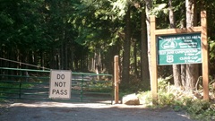
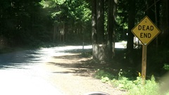
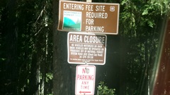
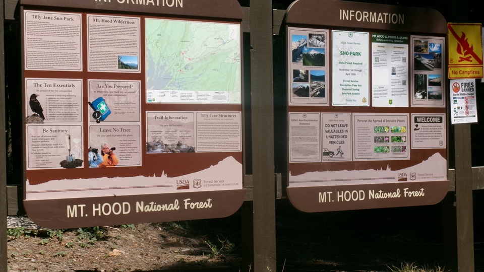
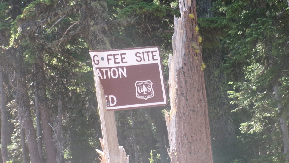
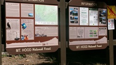
A short pause to soak up the information signs, as the road get rougher.
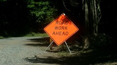
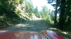
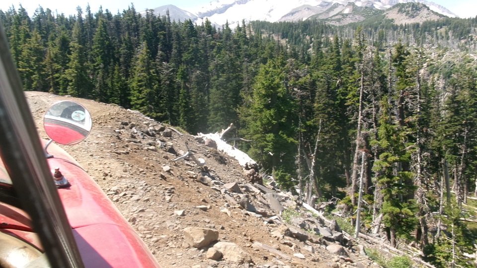
Drive on the ridges to avoid the ruts, don't drag the chassis on the center ridge, don't drop off the edges. do not straddle any large rocks, do drive around them while avoiding pot holes.
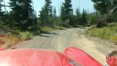
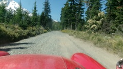
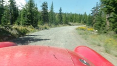
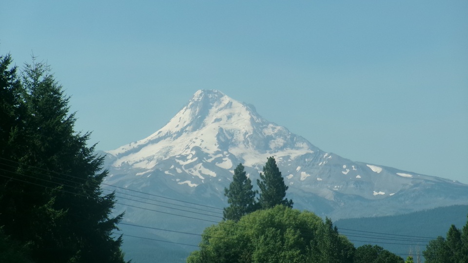
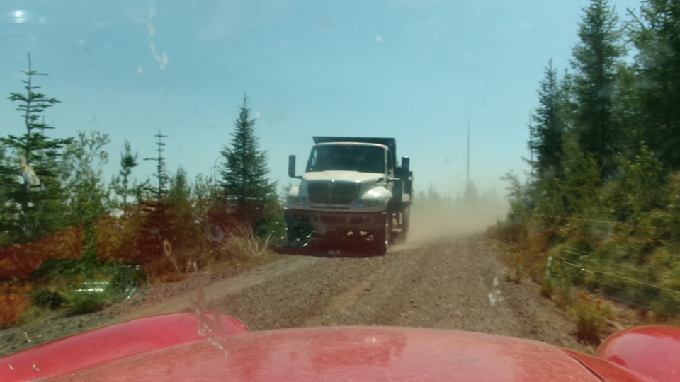
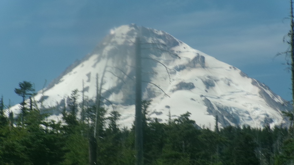
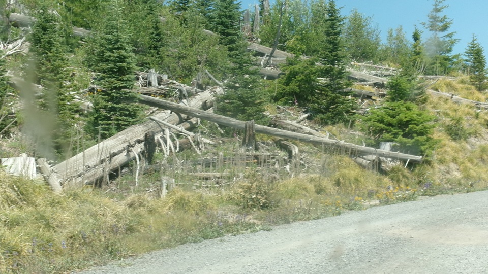
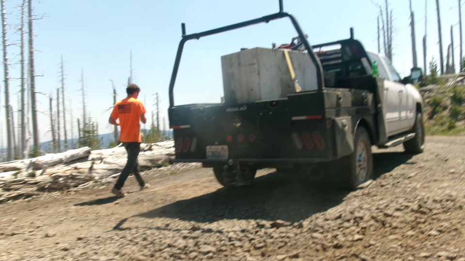
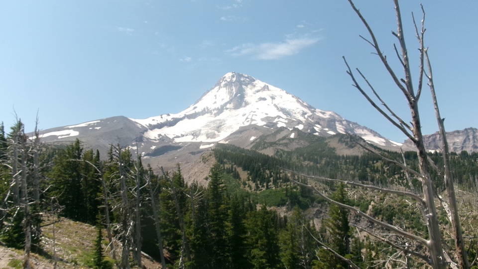
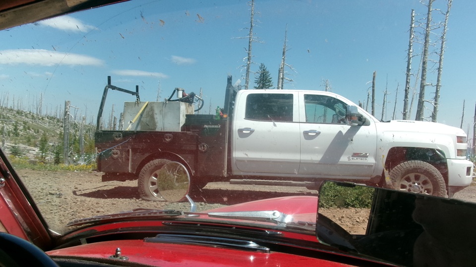
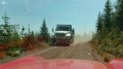
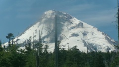
Gladly pull over to the edge and stop to allow a few big boys to pass. Smile and wave for the good guys hauling gravel up here to maintain the road. Eat the dust and enjoy the clouds. Getting closer to the snow cap top, but still a long way off as the birds s fly. If that truck can get through, I recon no mud holes or giant barriers. Do miss the fallen trees they blast or saw off to keep the road clear.
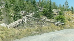
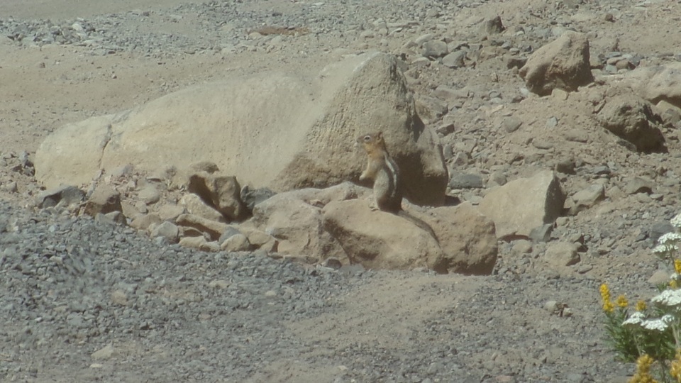
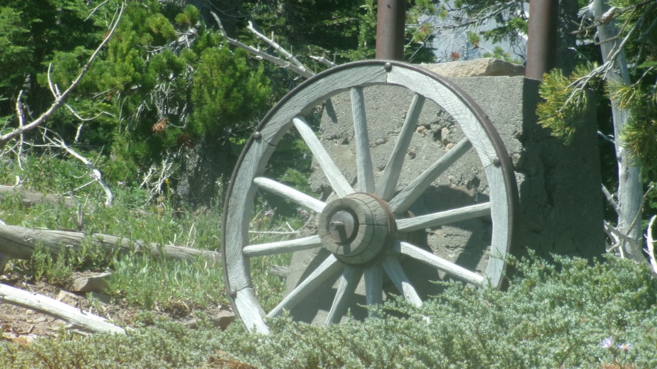
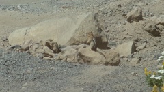
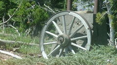
Pull over again thinking we may have to move some rocks, but the chipmunk was guarding his territory. Okay, I think we can drive around on the left, while the chipmunk never moved. There was a trail on the left, certainly impassable by car, with a sign for "Wagon Road Trail #642". We soon found where it got its name, with an old wagon wheel converted to a sign post with the sign board long gone. With research later on this must be the upper trail head for ski trail dropping from 5880 feet down to 4360 feet (1500 foot drop),crossing our road ten times on the way down. This point is very close to end of the road we were following.
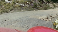
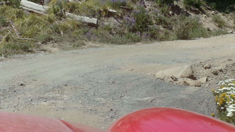
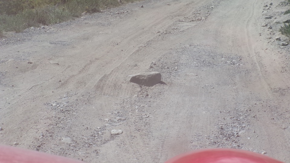
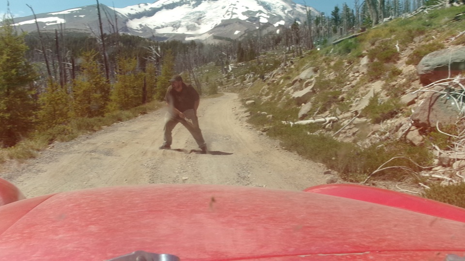
Now there's a rock dead center we couldn't drive around (maybe), and definitely not going to drive over it, so good deed for the day is to get out and move it.
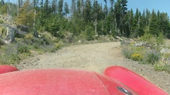
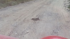
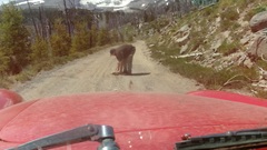
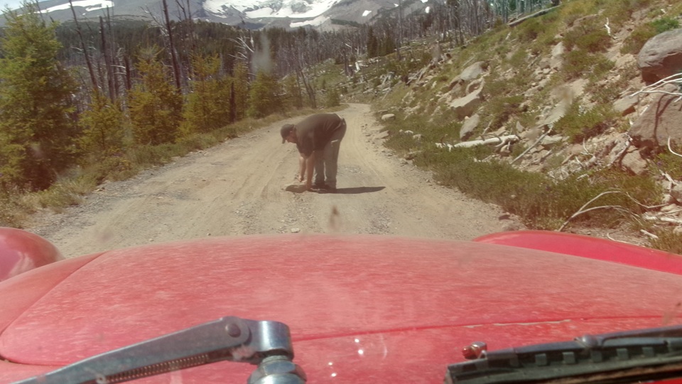
I thought it might be attached to the bedrock, but Elliot made like Superman, yanked it right out and chucked it over the edge into the ditch. Getting close to end of the road, only one mile to go.
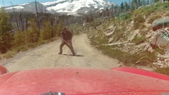
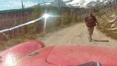
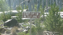
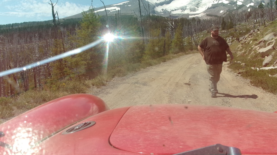
We encountered a one-man road crew, trying to keep the road passable. He was throwing aside rocks and filling in pot holes with hand tools, so we mentioned that we were helping out by moving a few rocks out of the road (so we could get through). He was absolutely amazed that our little car and trailer could make it this far up the mountain, and to be honest so were we. To be fair, he did have a trailer and a small tracked Bobcat loader/dozer to help with scraping and grading.
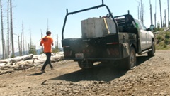
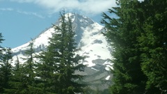
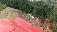
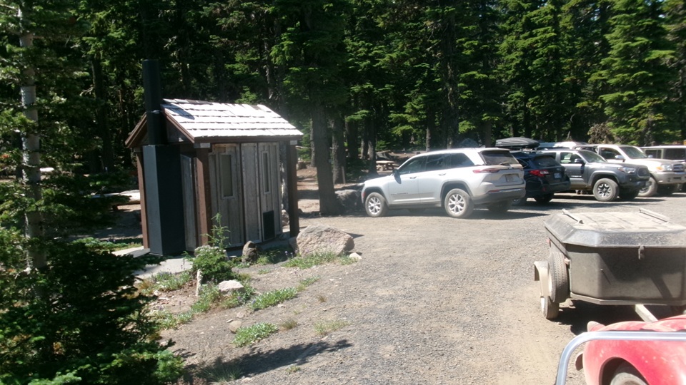
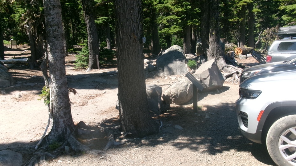
But there's a spot he didn't get to yet. Our car is on the left half of the road, with the right half gone from a land slide. I think he's going to need some more equipment, and lots more help. But we did find the camp ground and surprised by the number of vehicles up here.
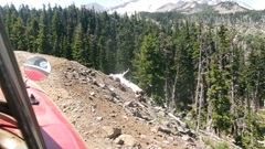
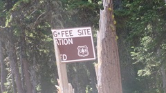
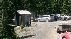
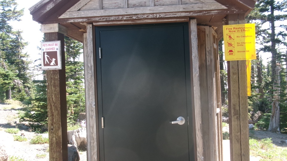
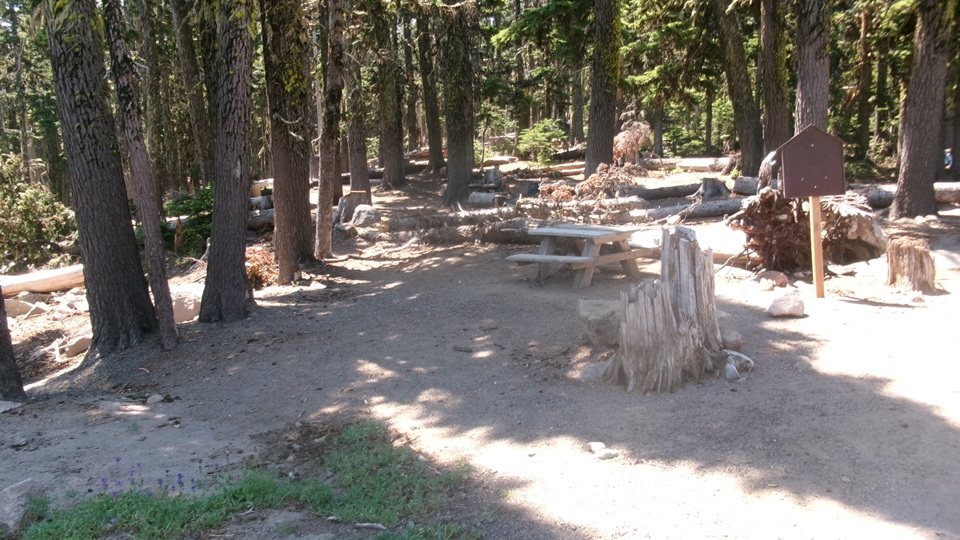
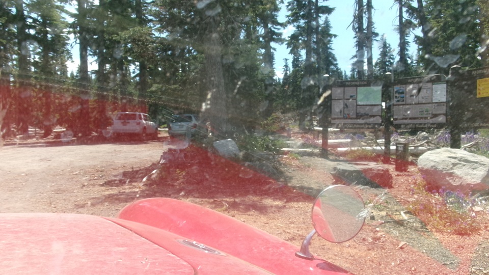
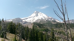
Kind of rudimentary but we're not staying. I recon this is the near 6000 foot base camp for trail hiking upward to or toward the 11,249 foot summit.
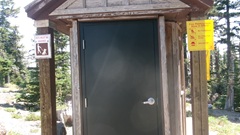
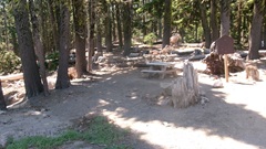
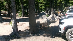
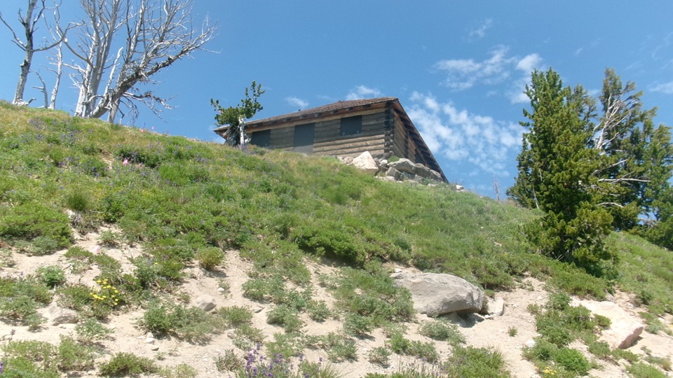
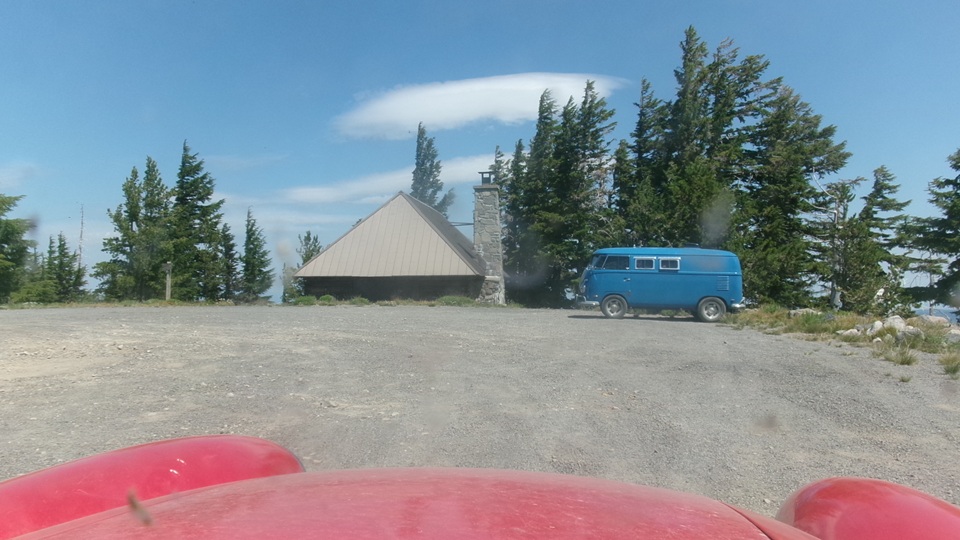
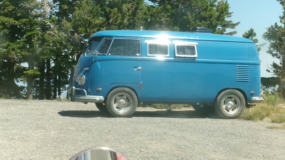
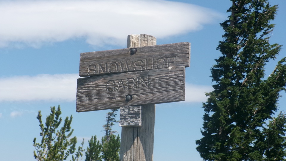
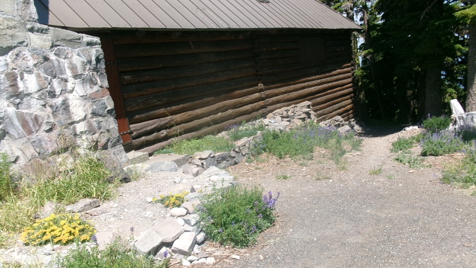
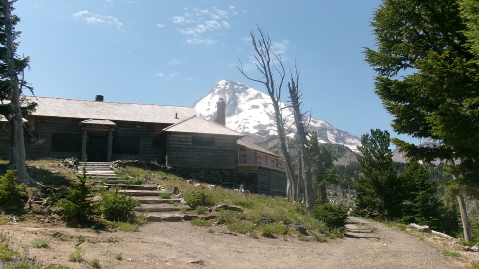
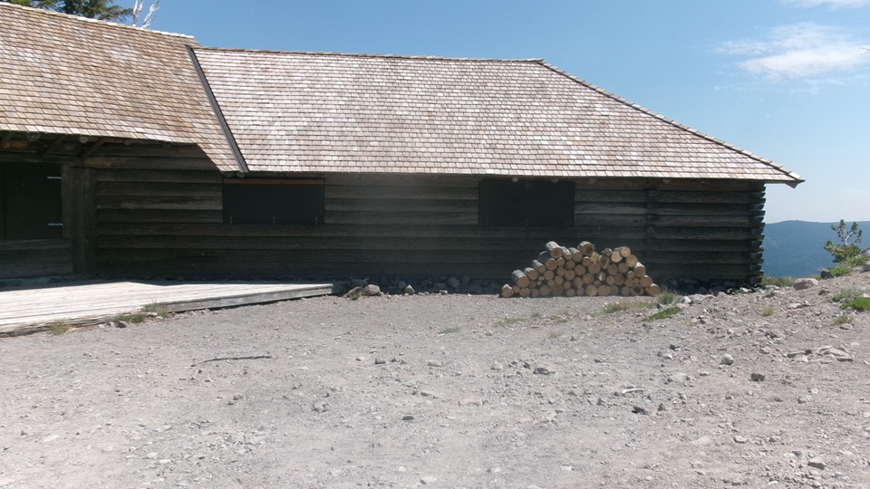
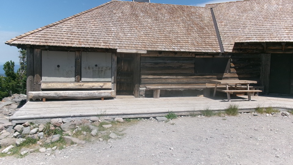
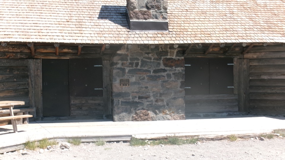
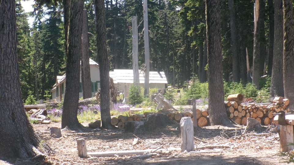
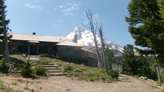
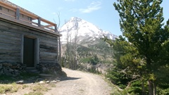
Just beyond the campground, a nice cabin on the hill, boarded up windows for preservation, unidentified. A bit farther on we found the Snowshoe Cabin, which we knew from maps. Don't know if the VW Microbus camper is associated with the cabin, or just hanging out here. The camper it oddly clean, so pretty sure it is not a new arrival.
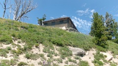
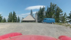
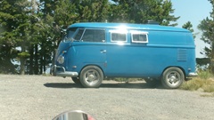
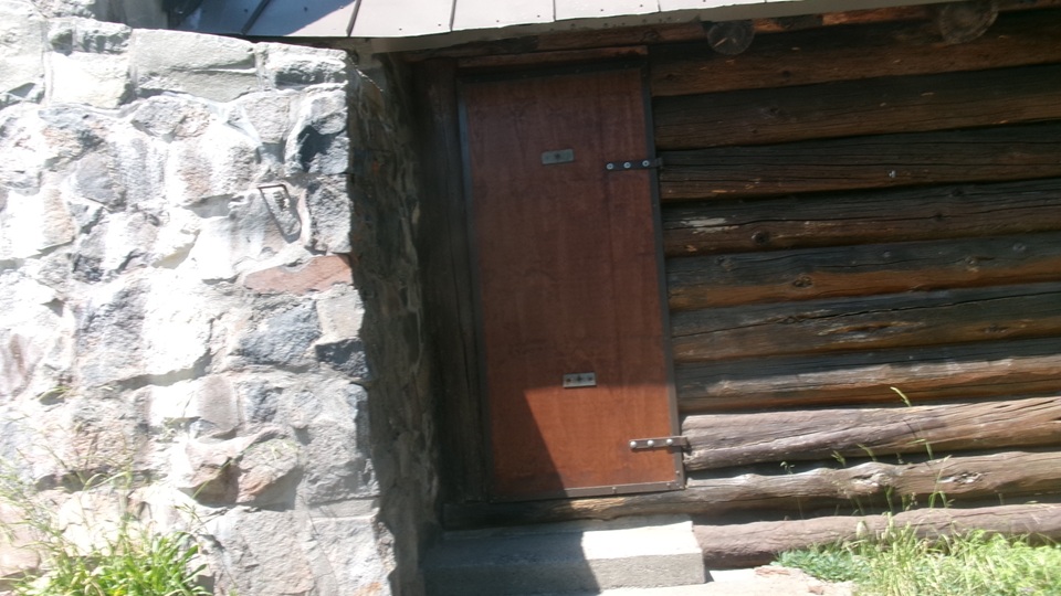
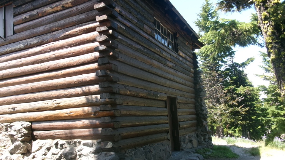
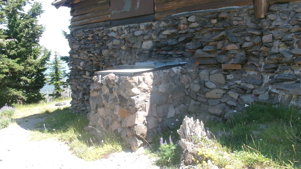
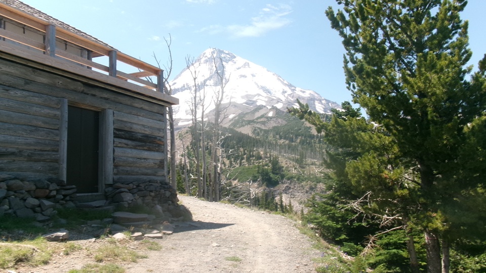
One lap around Snowshoe Cabin for pictures, two stories tall on the hillside, knock on the doors, nobody here.
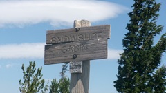
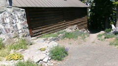
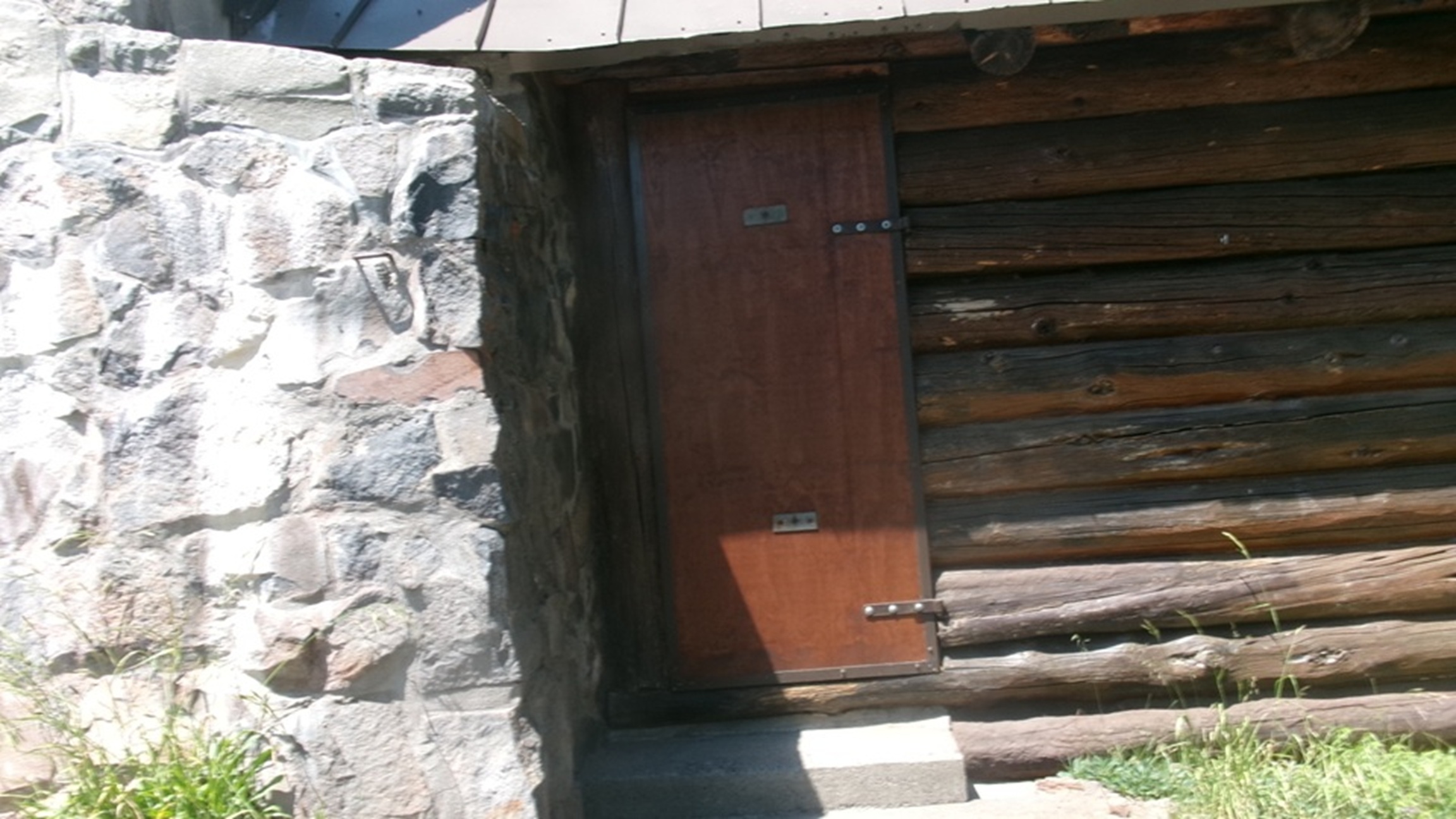
No outside service lines, but looks like a water cistern and septic system. Historical photos make this at least 100 years old. Not open to the public since the 1950's.
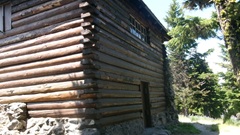
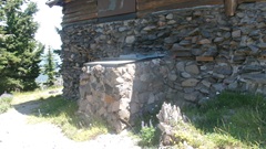
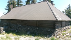
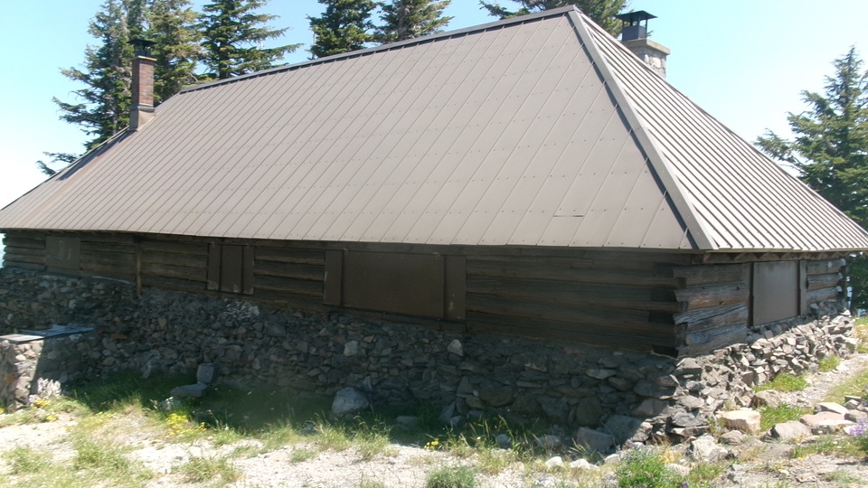
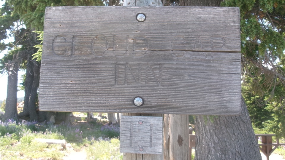
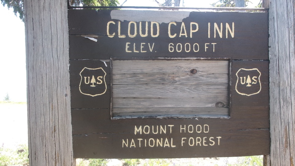
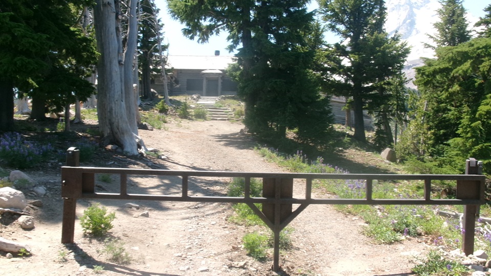
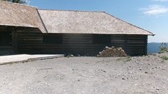
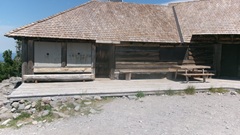
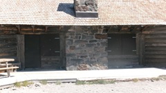
Just around the corner, almost common parking lot, is the Cloud Cap Inn. Open 1889, closed 1946 (80 years go), so no services here either. But it does seem to be well maintained as a historical Building.
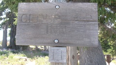
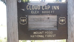
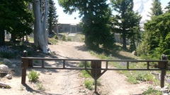
Walk around makes it obvious why it is here in this location. Extensively large building complex to serve as a commercial lodge during ski season, back in the day. Imagine 1020's and early 1030's motor cars making their way up the crude primitive road of the day for the ski enthusiasts. Okay, think horses with wagons or buggies prior to about 1912.
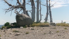
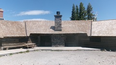
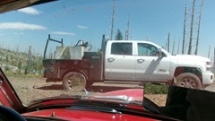
Say hello to the road guy again on the way out. Make a quick right to visit the second camp ground.
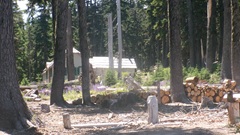
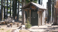
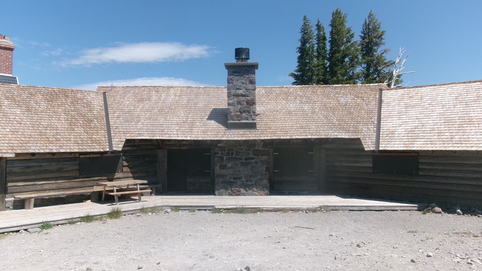
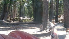 This one looks slightly more formal. Mapping thinks there should be another road from back of this place taking alternate route down for some short distance, but it looks like that road might be intentionally closed/barricaded.Time to bail out and head back down the hill.
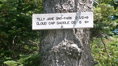
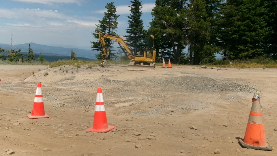
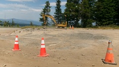 It took us most of two hours to get up here, but we made the 14 miles mostly non-stop down in hour and a half. Skirting around one huge sink hole in a switchback turn, marked with safety cones, and the excavator ready to fill it in. One more sign we missed on the way up, as it was on wrong side of the road over our shoulder.
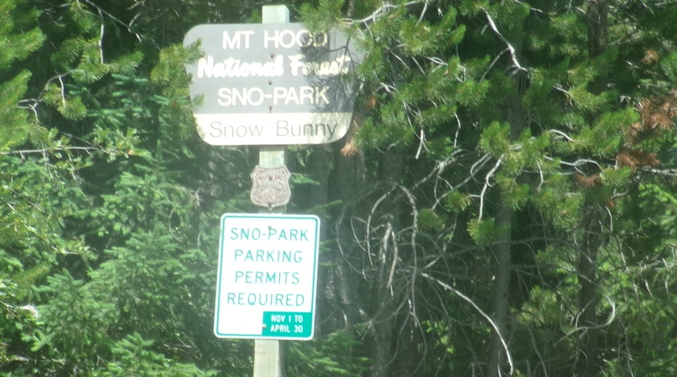
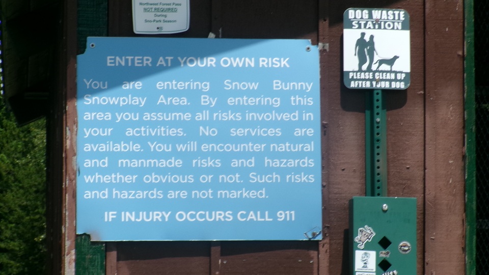
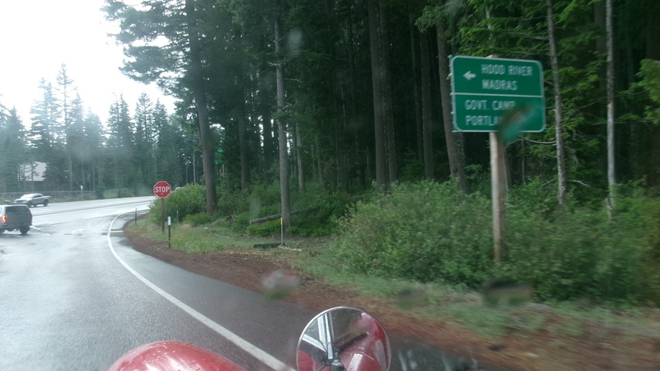
Hang a right back onto OR-35 to run around the east side of the mountain,and get into the south side entrance. 16 miles on, looking for the Government Camp ski resort, we turned in bit early, ending up in a parking lot at the base of Snow Bunny trail. Just a minute to figure out what was wrong, turn around to get out.
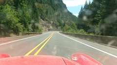
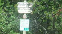
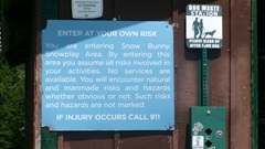
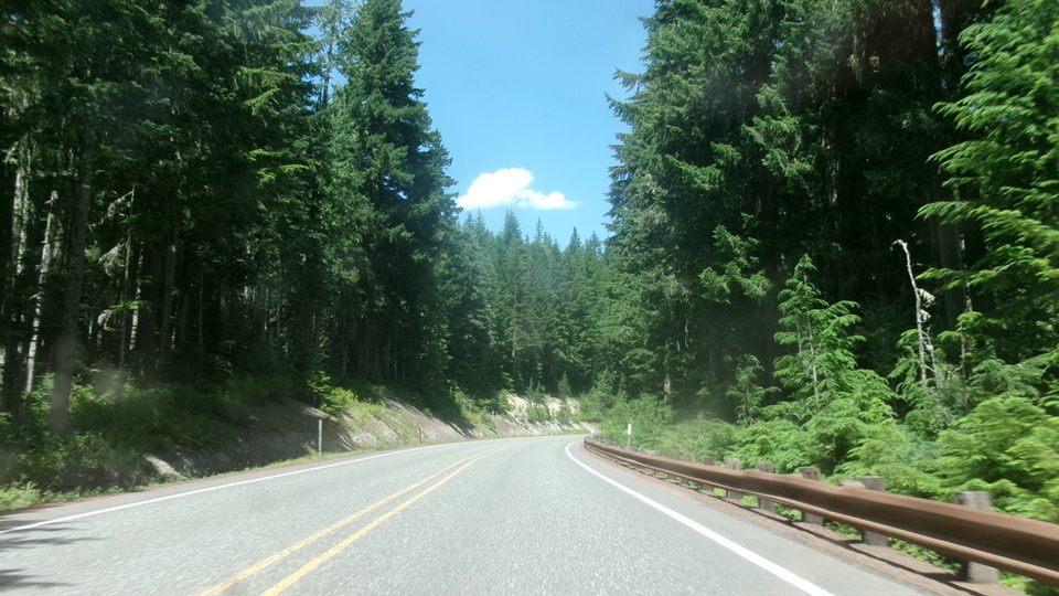
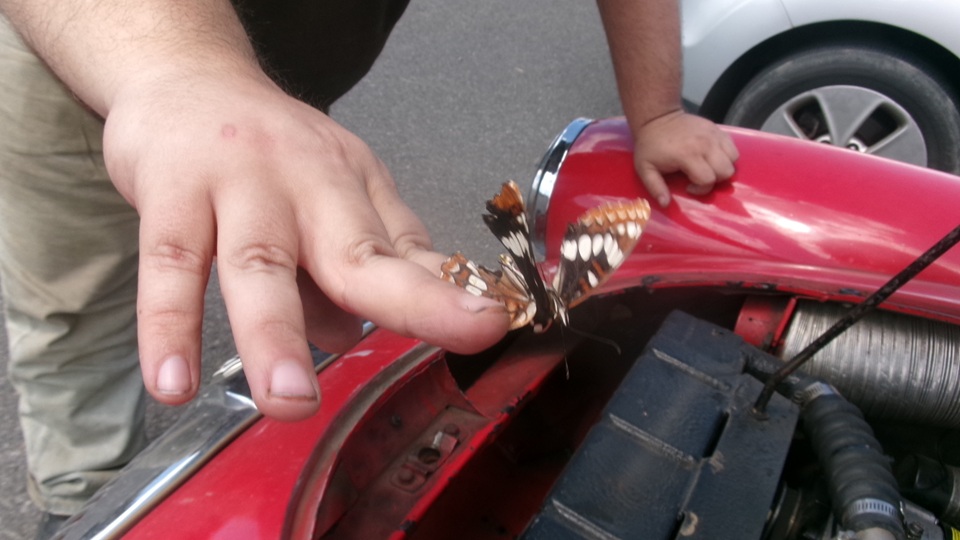
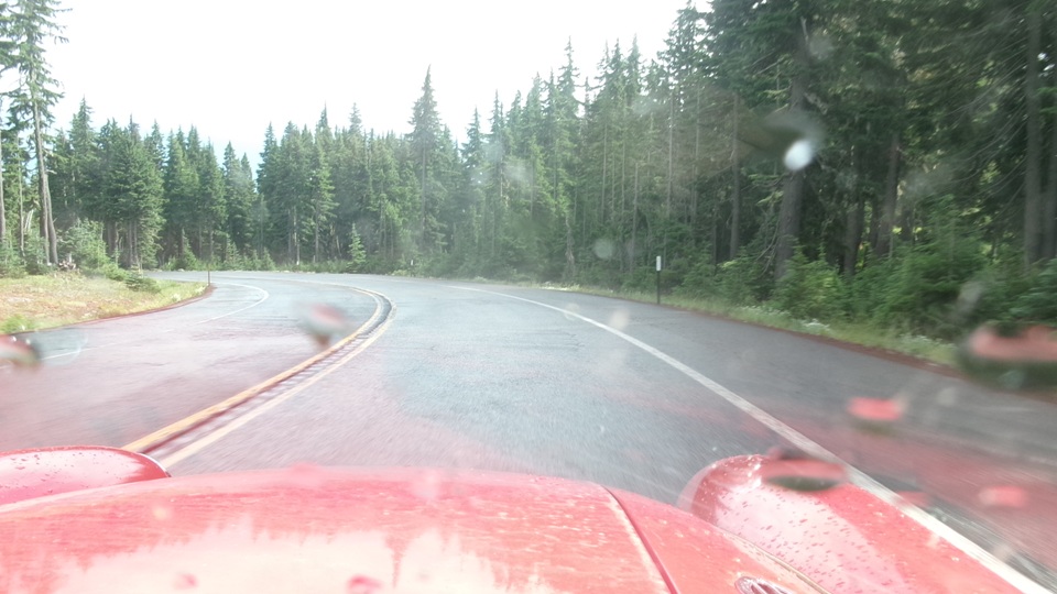
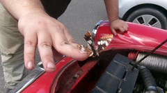
Mile and a half west on US-26 (Mount Hood Highway), turn into Timberline Highway. Nice upgrade blacktop, winding road with a few switch backs, 5-1/2 miles in to find overflow parking. Quick check under the bonnet gust to be sure all is well. Banish the half dead butterfly, and brush a few more bugs off the radiator core.
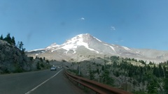
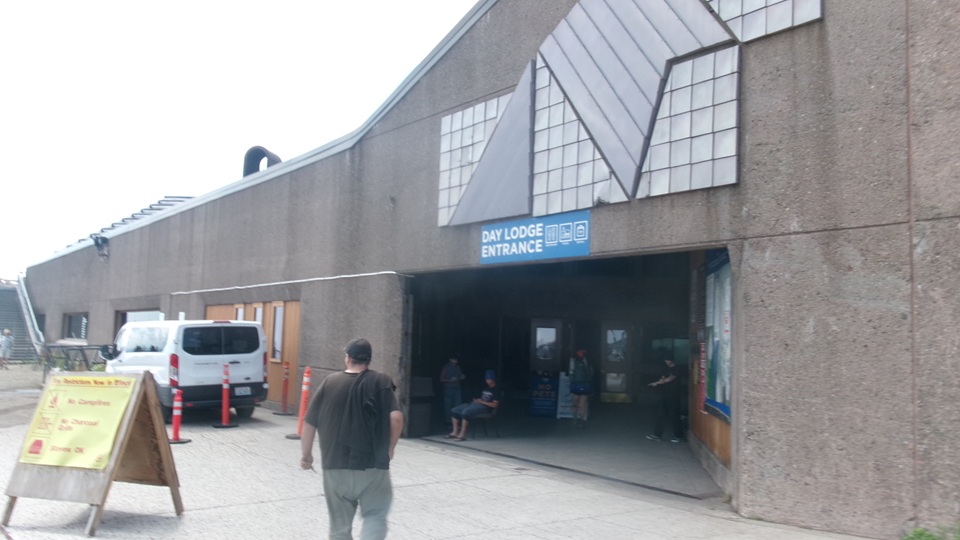
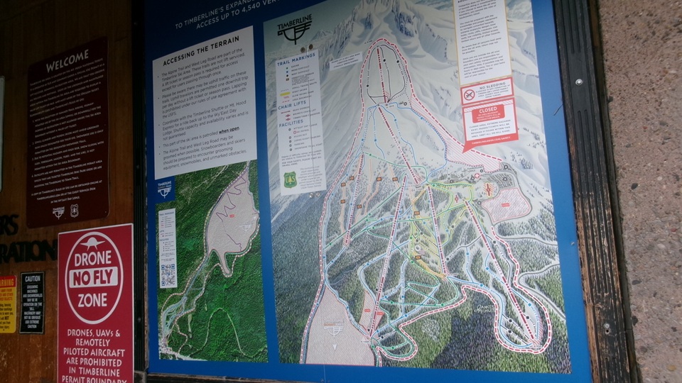
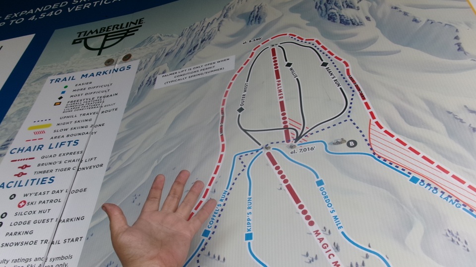
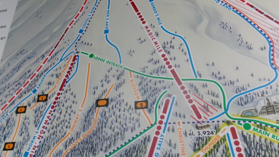
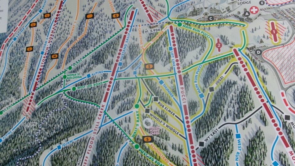
Then hike up the hill a few blocks to the lower level entrance of Wy-East Day Lodge. What we had in mind here was to find a cable car ski lift to go up the mountain as far as possible.
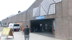
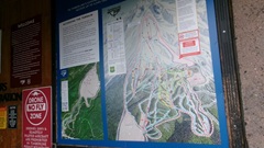
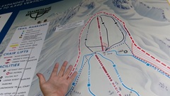
Mid afternoon here,but unfortunately all the lifts were shut down at 11-am, expecting storms and possible lightning. Bummer.
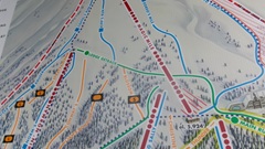
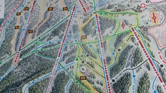
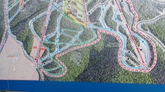
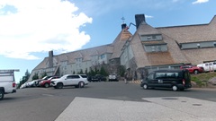
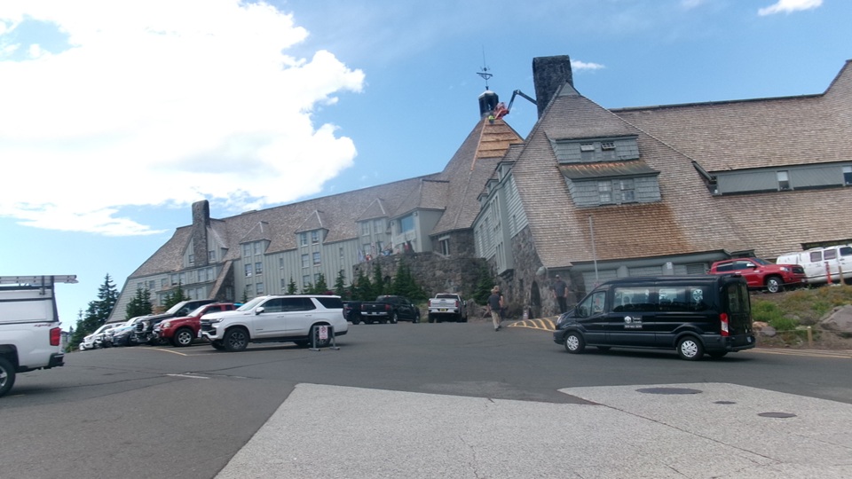
Plan -B,find a restaurant for late lunch. Most of the restaurants closed at 2-pm, except for Rams Head Bar at Timberline Lodge, which is farther upgrade. Elevator up two floors, stairs up anther floor, then out the back door and you can't can't miss it. Really? Hike another block up hill to their parking lot, and a flight of stairs up to the front porch and ground floor of Timberline Lodge. Now ask again. Rams Head Bar is on top floor, another elevator up two floors, more stairs up one more floor, and a short ramp up to the bar entrance door. Man I hope the food's good.
 Well it was just okay. They were out of meatballs for the meatball sandwich, so we were both disappointed. Try some other gourmet type meatballs with with gravy, and bread on the side. Not for Navi; he was into a giant pretzel with some kind of cheese dip. And a couple of sodas. -- Looking out the window, the bright sun disappeared, and a few people were running for cover from the rain, so I guess the forecasts were right.-- Relax and enjoy what we could of lunch, and then down again? Not so bad this time. Out the bar door and down a flight of stairs to find a rest room. Down a ramp and hallway to find elevator, which dropped us right out into the parking lot. Better. Sill a three block stroll down hill, kind of a coast on auto-pilot. In the car, drive up hill a block before turn around to escape. Well it was just okay. They were out of meatballs for the meatball sandwich, so we were both disappointed. Try some other gourmet type meatballs with with gravy, and bread on the side. Not for Navi; he was into a giant pretzel with some kind of cheese dip. And a couple of sodas. -- Looking out the window, the bright sun disappeared, and a few people were running for cover from the rain, so I guess the forecasts were right.-- Relax and enjoy what we could of lunch, and then down again? Not so bad this time. Out the bar door and down a flight of stairs to find a rest room. Down a ramp and hallway to find elevator, which dropped us right out into the parking lot. Better. Sill a three block stroll down hill, kind of a coast on auto-pilot. In the car, drive up hill a block before turn around to escape.
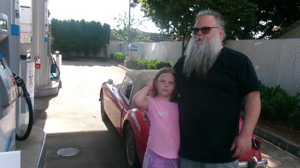
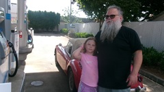
Six miles down through the twisties, and hang a right onto the highway, all the while thinking Government Camp and the ski resort was kind of a bust. And we notice the windscreen wipers were not working. Soon we were being tailed by dark red Jeep, pulling along side to honk at us a couple of times, then back behind to follow us wherever we went. Okay, humor the guy ,and pull into a gas station to see what he wants. Nice guy with his grand-daughter, had just bought an MGA, just like mine, a few days ago, a real novice to the sport. So we had a half hour chat to introduce him to the MGAguru web suite, the MGA discussion forum, our clubs list and shops list, places where he can buy parts new or used, and do keep in touch.
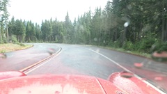
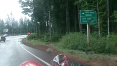
Then heading in the general direction of tomorrow's appointment, another 100 miles southwest to Love's Travel Center in Albany, Oregon. Good for fuel, dinner, WiFi, and lots of work on photos and notes for the travel log.
It may be appropriate here to mention why we do these crazy time consuming and risky runs on such ratty roads. It is partly out of curiosity and entertainment, like being a tourist. Also partly to avoid boredom on a day off. But mostly it is a part of the mission statement to bring helpful data and information about owning and driving and maintaining a vintage car. We do this so other people can know what is out there without having to spend the time or money or risk damage to their car just to find out. Also, we like to instill the courage and confidence for people to drive these cars, which of course were made to be driven.
|